|
 Although
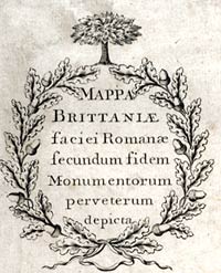
this map first came to notice a few years before 1750
its impact lasted for many years. It was not until 1860,
over a 100 years later, that it was proved to be a fake
- a very good one but a fake nonetheless. Although
this map first came to notice a few years before 1750
its impact lasted for many years. It was not until 1860,
over a 100 years later, that it was proved to be a fake
- a very good one but a fake nonetheless.
It was created
by Charles Bertram and it fooled the leading experts
of the day who said the information on it had come from
a monk living in the 1300s. The map was very clever
in that it contained lots of information that was already
known but Bertram had also added details that he had
made up!


|