|
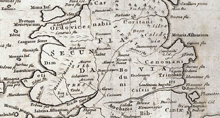
Map:
Fake
Roman Britain Map 1743

Look at the enlarged
section of the map above. Does any of the information on this
'look suspicious' to you?
The way to check
your 'suspicions' is to check them out with the Ordnance Survey
Map of Roman Britain. If there isn't one in the school or
college, your local library will almost certainly have one.
|